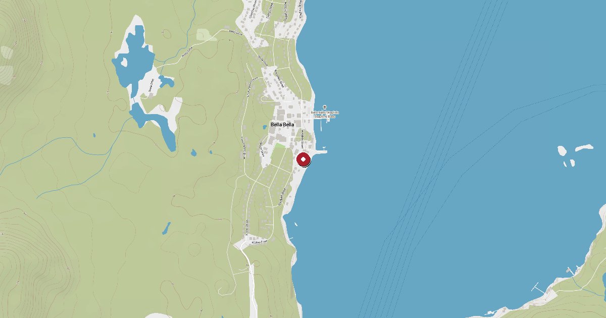
The Heiltsuk Nation community dock at Bella Bella (Waglisla) on Campbell Island — a key north-coast provisioning stop with fuel, water, and garbage disposal. Fuel is often cheaper here than at nearby Shearwater. Recreational berths are very limited; most cruisers moor at Shearwater and water-taxi over.
Bella Bella (Waglisla) sits on the east shore of Campbell Island along Lama Passage, roughly 280 nautical miles north of Vancouver Island. It is the largest community on BC's central coast, home to the Heiltsuk Nation, and one of the most strategically important stops on the northbound Inside Passage run — the last community of any size before the long wilderness stretches toward Prince Rupert and Southeast Alaska.
The government dock here is a Heiltsuk Nation-managed community facility, distinct from Shearwater Marina on Denny Island two nautical miles to the east. Where Shearwater is a full-service resort with 1,500 linear feet of concrete guest floats, the Bella Bella dock primarily serves local commercial fishers, freight vessels, and community residents. Transient moorage for recreational boats is possible but space is extremely limited and not reservable — it's a show-up-and-see situation.
What the dock does reliably offer is fuel. Gasoline and diesel are available from pumps mounted on the upper wharf above the fuel float, and prices have historically been slightly lower than at Shearwater. Potable water is also available dockside — described by multiple sources as clear and consistent. Garbage drop is confirmed. No pump-out or shore power has been documented at this facility.
For provisioning, the Waglisla Band Store (open daily, approximately 9 am to 5 pm) carries groceries, with shelves restocked by weekly freight arriving on Sundays — Monday mornings are the best time to find full selection. The community also has Alexa's Restaurant and the Koeye Cafe for meals ashore.
Bella Bella's supporting infrastructure punches well above its population of roughly 1,000 to 1,200 residents. The R.W. Large Memorial Hospital provides 24-hour emergency services and a weekday pharmacy. The RCMP maintains a local detachment. Pacific Coastal Airlines connects to Port Hardy and Vancouver; Shearwater's 3,000-foot paved airstrip handles private and charter aircraft.
The Heiltsuk cultural presence is visible throughout town — totem poles, a ceremonial Big House constructed in 2019, and local artwork. In 2022, the Heiltsuk Nation purchased Shearwater Resort, making both facilities part of an Indigenous-owned network on this stretch of coast.
The practical pattern for visiting cruisers is to moor at Shearwater (book ahead in summer), then take the YuWala Marine Charters seabus (approximately $10 CAD per person) or a water taxi across to Bella Bella for fuel, provisions, and a walk around town. VHF Ch 66A and phone (250) 957-2305 reach Shearwater. Cell service in Bella Bella is described as good by recent accounts.
BC Ferries serves the McLoughlin Bay terminal on the north side of Campbell Island — the Discovery Coast Passage route connecting to Port Hardy, Prince Rupert, Klemtu, Ocean Falls, and Bella Coola.
Fuel and shore power available at Bella Bella Harbour Authority.
Plus Live prices · no recent update
Laundry, groceries, a patch of grass for the dog, the nearest decent meal — here's what's within reach of Bella Bella Harbour Authority. Tap any pin on the map for the details.
Plus members get the full picture — walking times to each stop, member notes, and ratings from cruisers who've actually been ashore here.
Wind protection summary and tide planning at a glance. Full per-direction and 7-day detail with Plus.
Refreshed every 15 minutes from the nearest weather station.
Source: OpenWeather One Call API + WorldTides.
First-hand reports and real questions from members who have tied up at Bella Bella Harbour Authority. Switch between reviews and the community Q&A below.
Cruising info goes stale fast — fees change, fuel docks close, hours shift. WalkTheDock stays accurate because boaters who’ve actually been here keep it current. Spot something out of date? Suggest a correction; once a moderator approves it the change goes live and you’re credited below.
No community updates yet — spotted something out of date? Use “Suggest an edit” below.
Please log in to suggest edits.
Log inIf Bella Bella Harbour Authority is full or you are weighing options, here is the closest moorage — sorted by distance.
No nearby anchorages found.
No other marinas nearby yet — we are adding more.