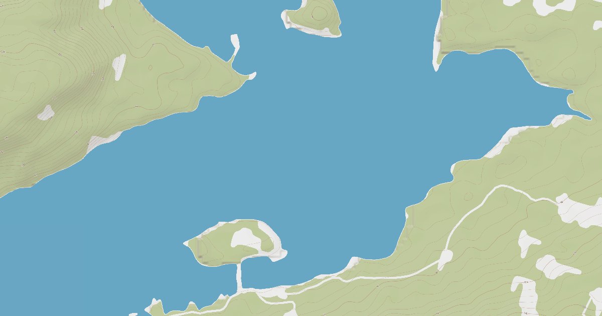
Appleton Cove

A quiet, convenient mud-bottomed anchorage tucked into the south shore of Rodman Bay, Appleton Cove is the classic place to stage and wait for a fair tide while transiting Peril Strait between Sitka and Chatham Strait.

59ftAvg Depth
MudHolding
3/5Wind Protection
/5Member Rating
SmallCapacity
About this Anchorage

Appleton Cove indents the south shore of Rodman Bay, a little over a mile inside the bay's entrance on the northeast side of Baranof Island. It is ringed by a tall, dense hemlock-spruce forest with a low, flat, south-facing shoreline, and a U.S. Forest Service cabin and a public mooring buoy sit at its head.

Boats typically anchor in deep water near the entrance to the cove in mud, which offers good holding. The head of the cove dries extensively at low water, so most cruisers favor the deeper outer pocket rather than working too far in. It is a calm, unpretentious stop rather than a scenic showpiece.

The surrounding waters offer seasonal salmon and Dolly Varden fishing, and brown bears frequent the shoreline. A Forest Service mooring buoy is available first-come, first-served.

Be the first to follow Appleton Cove.
Local Knowledge

Approaches & Known Hazards

Approach notes, hazards to watch for, and what's available once you're tied up.

Approach from Peril Strait into Rodman Bay, whose entrance is wide but carries shoals and rocks. The principal danger is Rodman Rock near the bay entrance, marked by a buoy; pass on either side keeping at least 200 meters off the buoy. A rock and shoal extend roughly 200 meters off the south shore a short distance east of the cove entrance, so stay that far off the southern shore until lined up to turn in.

The greater navigational concern in this area is the strong tidal current of nearby Peril Strait (notably Sergius Narrows to the west), which is why Appleton Cove is commonly used as a waiting anchorage for slack water. Note the large drying flats at the head of the cove. NOAA chart 17338 covers the area.

What's nearby

  • Shore Access
Wind & Tides

Plan your stay

Wind protection summary and tide planning at a glance. Full per-direction and 7-day detail with Plus.

Wind Protection

Plus
3/5 Overall protection
Best from
N · NE · NW
Weakest from
SE · S · SW
Unlock full wind rose

Tides

Plus
Falling Low 6.6 ft at 6:54 PM
Current height
14.3 ft
Next extreme
Low at 6:54 PM
7-day forecast
Unlock 7-day forecast
Right Now

Conditions

Live readings from the nearest OpenWeather station and WorldTides; refreshed every few minutes.

Live
Wind 3 kn SW
Air 65 °F Updated 1 second ago
Sky Overcast clouds OpenWeather
Tide Falling Low 6.6 ft at 6:54 PM
Water Coming soon

Source: OpenWeather One Call API + WorldTides.

Tour

Walk through the anchorage

A curated photo + map walkthrough showing approach, mooring options, and points of interest.

Plus

A guided walkthrough of Appleton Cove with approach photos, depth notes, and points of interest — written by members who have been here recently.

Gallery

Photos from members

Member-uploaded images of this anchorage.

From the dock

Reviews & questions

Real first-hand reports and questions answered by members who have actually been here.

No reviews yet. Be the first.

Community

Keeping it current

Corrections from the WalkTheDock community

Cruising info goes stale fast — fees change, fuel docks close, hours shift. WalkTheDock stays accurate because boaters who’ve actually been here keep it current. Spot something out of date? Suggest a correction; once a moderator approves it the change goes live and you’re credited below.

No community updates yet — spotted something out of date? Use “Suggest an edit” below.