A well-protected all-weather anchorage tucked into the north shore of Kruzof Island, just off Salisbury Sound and a short hop from Sitka, and the jumping-off point for the Sea Lion Cove trail to the open Pacific coast.
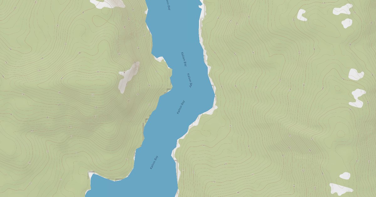
Kalinin Bay trends north into Salisbury Sound on the north coast of Kruzof Island, roughly 24 miles northwest of Sitka and reached via the protected waters of Olga and Neva Straits. The bay narrows toward a forested head fronted by an estuary, where the U.S. Coast Pilot describes a well-protected anchorage in any weather.
It is a working anchorage as much as a scenic one: fishing boats and cruisers share the holding ground, drawn by the productive salmon grounds along the northern edge of Kruzof and the proximity to Salisbury Sound. The head of the bay is shoal and fronted by a bear-frequented estuary, so most boats anchor well off the flats.
Ashore, a rough 2.4-mile trail climbs over the island's spine through old-growth and muskeg to Sea Lion Cove, a long sand beach on the open ocean - the main draw for those who get a dinghy in at higher water.
Approach notes, hazards to watch for, and what's available once you're tied up.
Approach is normally made from Salisbury Sound, which opens to the Pacific and can carry significant ocean swell near Point Kakul; the outer sound and nearby Kakul Narrows run hard at mid-tide, so transits of the narrows should be timed for slack water. Sinitsin Island, low and wooded, lies about 0.8 mile east of the entrance and marks the farthest projection on the south side of the sound.
Inside, the bay shoals markedly toward its head - anchor far enough off that low tide does not strand you, and be aware the estuary flats dry extensively. Bears frequent the estuary (and have bitten inflatables), so secure the dinghy. Watch for rocks along the entrance shores and favor mid-channel on the way in.
Wind protection summary and tide planning at a glance. Full per-direction and 7-day detail with Plus.
Live readings from the nearest OpenWeather station and WorldTides; refreshed every few minutes.
Source: OpenWeather One Call API + WorldTides.
A curated photo + map walkthrough showing approach, mooring options, and points of interest.
A guided walkthrough of Kalinin Bay with approach photos, depth notes, and points of interest — written by members who have been here recently.
Real first-hand reports and questions answered by members who have actually been here.
No reviews yet. Be the first.
Cruising info goes stale fast — fees change, fuel docks close, hours shift. WalkTheDock stays accurate because boaters who’ve actually been here keep it current. Spot something out of date? Suggest a correction; once a moderator approves it the change goes live and you’re credited below.
No community updates yet — spotted something out of date? Use “Suggest an edit” below.
Please log in to suggest edits.
Log inCruising-distance picks near this anchorage.
Southeast Alaska · 18.4 nm away
Southeast Alaska · 23.3 nm away
Southeast Alaska · 28.4 nm away
Southeast Alaska · 30.3 nm away