Dawson's Landing is the essential fuel, supplies, and moorage stop on Rivers Inlet — the only public dock serving independent cruisers between Port Hardy and Bella Bella. Tucked into a sheltered cove at the north end of Darby Channel, it has been family-run since 1954 and remains a lifeline for boaters transiting BC's mid-coast.
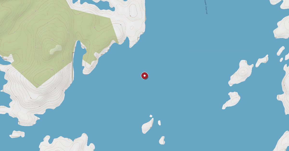
Rivers Inlet reaches deep into the Great Bear Rainforest of British Columbia's central coast, a world-class salmon fishery surrounded by mountains, old-growth forest, and grizzly bear habitat. Dawson's Landing General Store and Marina sits roughly 12 nautical miles up the inlet from its mouth, sheltered in a protected cove at the north end of Darby Channel just northeast of Walbran Island — a position that makes it the de facto hub for every cruiser, fisherman, and floatplane passenger passing through this remote corridor.
The dock was established in 1924 as a fisheries department station supplying canneries, trappers, and early logging operations. Named after original operators Jimmy and Jean Dawson, the property has been in the Bachen family since 1954. Today Rob and Nola Bachen run the store, docks, and rental cabins, maintaining the same essential role the landing has played for a century: fuel, food, and a friendly face at the edge of the wilderness.
For cruising boaters, Dawson's Landing is a critical waypoint. Gas and diesel are both available at the dock — the only fuel in Rivers Inlet accessible to independent vessels. The store stocks canned and frozen goods, fresh vegetables, dairy, ice (block and cube), propane, fishing gear, fishing licenses, hunting gear, charts, hardware, and chandlery items. A government liquor agency is on-site, as is a Canada Post outlet. Showers, laundry, and washrooms are available, described by visiting cruisers as communal and rustic but entirely functional. Satellite WiFi can be purchased at the store.
The main dock complex offers approximately 800 feet of moorage on three fingers, accommodating vessels of all sizes from small fishing boats to large yachts. Boaters should be aware that dock tie-up uses rope loops set into the dock planks rather than conventional cleats, and there are no bull rails on the main docks — one float with bull rails is reserved for floatplane operations. A helipad sits at the south end of the complex. Tidal flow can be notable; plan lines accordingly.
The surrounding region rewards those who linger. Rivers Inlet supports 12 documented runs of chinook and 21 runs of coho across more than 20 tributary streams, making it one of the most celebrated salmon fisheries in Canada. Grizzly bears are regularly spotted on the shorelines of Draney Inlet and other tributaries. Penrose Island Marine Provincial Park, within easy reach, offers protected anchorages and hiking through old-growth forest. The area falls within Wuikinuxv (Oweekeno) territory, and the village of Oweekeno at the head of the inlet carries a long history tied to this watershed.
Dawson's Landing is open year-round and accessible only by private vessel or floatplane. VHF 06 is the working channel. Call ahead during peak salmon season, when dock space can be in high demand.
Fuel and shore power available at Dawsons Landing / Rivers Inlet.
Plus Live prices · no recent update
Laundry, groceries, a patch of grass for the dog, the nearest decent meal — here's what's within reach of Dawsons Landing / Rivers Inlet. Tap any pin on the map for the details.
Plus members get the full picture — walking times to each stop, member notes, and ratings from cruisers who've actually been ashore here.
Wind protection summary and tide planning at a glance. Full per-direction and 7-day detail with Plus.
Refreshed every 15 minutes from the nearest weather station.
Source: OpenWeather One Call API + WorldTides.
First-hand reports and real questions from members who have tied up at Dawsons Landing / Rivers Inlet. Switch between reviews and the community Q&A below.
Cruising info goes stale fast — fees change, fuel docks close, hours shift. WalkTheDock stays accurate because boaters who’ve actually been here keep it current. Spot something out of date? Suggest a correction; once a moderator approves it the change goes live and you’re credited below.
No community updates yet — spotted something out of date? Use “Suggest an edit” below.
Please log in to suggest edits.
Log inIf Dawsons Landing / Rivers Inlet is full or you are weighing options, here is the closest moorage — sorted by distance.
No nearby anchorages found.
No other marinas nearby yet — we are adding more.