A remote BC Marine Provincial Park on the east side of Grenville Channel, roughly 98 km south of Prince Rupert. Excellent all-weather hold in the East Inlet basin in 16 m over solid ground. No dock, no services—pure wilderness. Halibut fishing is outstanding; historic cannery ruins and Tsimshian stone fish traps add depth.
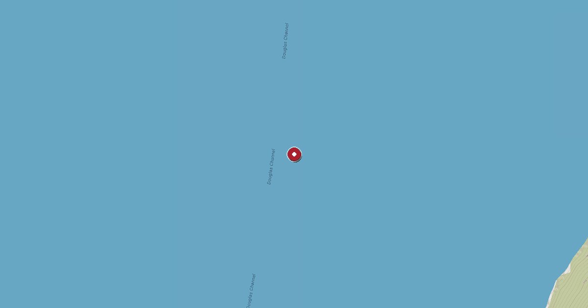
Klewnuggit Inlet Marine Provincial Park was established in 1993 and covers 1,800 hectares of rugged northern BC coastline on the east side of Grenville Channel, one of the Inside Passage's major transit corridors. It sits roughly 20 km north of Lowe Inlet Marine Park and about 98 km south of Prince Rupert—remote even by BC coast standards, accessible only to self-sufficient vessels.
The park is a wilderness anchorage in the full sense of the word. There is no dock, no float, no mooring buoys, no shore power, no fuel, no water, and no facilities of any kind. What it offers is excellent, well-protected anchorage in the East Inlet basin, with solid holding ground in approximately 16 metres (9 fathoms) at the north end. The inlet is characteristically deep—most of it far too deep to anchor—so the target spot is specific: follow the East Inlet to its northernmost arm, a small appendage trending northwest, and anchor there. BC Parks' own description calls it 'a nice bottom.' Cruisers confirm good holding.
The historical layer here is substantial. A salmon cannery operated in the inlet from roughly 1890 to 1934; the remains of its wharf and wooden structures are visible and explorable by dinghy. The Tsimshian people used this inlet long before the cannery era—stone fish traps at the outlet of falls in Nettle Basin are among the most visible evidence of that occupation. The tannin-darkened water and columnar basalt cliffs give the inlet a striking, atmospheric character.
Fishing is a major draw. Multiple cruising accounts mention outstanding halibut fishing in and around Grenville Channel, with fish reported to 57 pounds. Salmon and rockfish round out the opportunities.
Wildlife here is typical of the northern BC coast: harbour seals haul out in the inlet, Barrow's goldeneye ducks frequent the quieter arms, and the old-growth cedar and spruce forest runs to the water's edge. A waterfall (the outlet of Brodie Lake) drops into the inlet and is accessible by kayak or dinghy.
Three cautions stand out for arriving boats. First, small islands and shoals guard the approach to the inner basin—navigate carefully, particularly in low visibility. Second, a cleft in the hills can channel williwaws: sudden, powerful wind blasts that have been known to drag anchors or push boats out of position with little warning. Set a second hook or have the engine ready in uncertain conditions. Third, the lagoon to the northwest—attractive to kayakers—has strong tidal currents at its entrance that make it impractical for most keel boats.
Grenville Channel runs roughly northwest–southeast, and the prevailing winds follow the channel axis: northwest winds dominate and can funnel with considerable force through the corridor. At anchor inside the inlet the exposure is much reduced, but conditions on the channel can deteriorate quickly. Tidal current in this stretch splits between Lowe Inlet and Klewnuggit—ebb runs out both to the north and south—worth factoring when timing a transit.
There are no park fees and no registration required. BC Parks (North Coast Skeena District, Terrace: 250-798-2277) administers the park but has no on-site presence.
Fuel and shore power available at Klewnuggit Inlet Marine Park Dock.
Plus Live prices · no recent update
Laundry, groceries, a patch of grass for the dog, the nearest decent meal — here's what's within reach of Klewnuggit Inlet Marine Park Dock. Tap any pin on the map for the details.
Plus members get the full picture — walking times to each stop, member notes, and ratings from cruisers who've actually been ashore here.
Wind protection summary and tide planning at a glance. Full per-direction and 7-day detail with Plus.
Refreshed every 15 minutes from the nearest weather station.
Source: OpenWeather One Call API + WorldTides.
First-hand reports and real questions from members who have tied up at Klewnuggit Inlet Marine Park Dock. Switch between reviews and the community Q&A below.
Cruising info goes stale fast — fees change, fuel docks close, hours shift. WalkTheDock stays accurate because boaters who’ve actually been here keep it current. Spot something out of date? Suggest a correction; once a moderator approves it the change goes live and you’re credited below.
No community updates yet — spotted something out of date? Use “Suggest an edit” below.
Please log in to suggest edits.
Log inIf Klewnuggit Inlet Marine Park Dock is full or you are weighing options, here is the closest moorage — sorted by distance.
No nearby anchorages found.
No other marinas nearby yet — we are adding more.