Bunsby Islands

A cluster of low, wooded islets in Checleset Bay just southeast of the Brooks Peninsula, the Bunsbys offer some of the best all-weather anchorages on Vancouver Island's wild northwest coast and are famous as the place where sea otters were reintroduced to BC.

36ftAvg Depth
KelpHolding
3.9/5Wind Protection
/5Member Rating
SmallCapacity
About this Anchorage

The Bunsby Islands sit in Checleset Bay, roughly seven miles south of Columbia Cove and a short hop across from Kyuquot, within Big Bunsby Marine Provincial Park. The group is a maze of low islets, rocks, and kelp-fringed coves that, once you are inside, provide remarkably snug, protected anchorages well shielded from the open Pacific swell.

This is sea otter country. The Bunsbys are where otters from Alaska were reintroduced between 1969 and 1972, and they now thrive here in large rafts, often seen lolling among the kelp beds. Grey whales, sea lions, seals, eagles, and abundant marine birds round out a genuinely wild, roadless wilderness reachable only by boat.

The favored anchorage is a small cove off Gay Passage on the inner side of the group, with a mud bottom in about 36 feet and room for several boats. The islands are best explored further by dinghy or kayak.

Be the first to follow Bunsby Islands.
Local Knowledge

Approaches & Known Hazards

Approach notes, hazards to watch for, and what's available once you're tied up.

Enter the Bunsby Islands only through Gay Passage; the surrounding waters are rock-strewn and reef-studded, with extensive kelp marking foul ground. The outer approach from Kyuquot and Checleset Bay is exposed to ocean swell, can build rough seas quickly in wind, and is subject to heavy fog at any time, so a current chart (CHS 3683) and careful piloting are essential.

When entering the larger inner bay, favor the north shore to avoid a shoal extending from the south side, and note the charted rock directly beneath the 6-fathom sounding. The cove on the west side of Gay Passage is guarded by two rocks that dry about 4 feet. Time the approach for good visibility and settled conditions.

What's nearby

  • Pet Friendly
  • Shore Access
Wind & Tides

Plan your stay

Wind protection summary and tide planning at a glance. Full per-direction and 7-day detail with Plus.

Wind Protection

Plus
3.9/5 Overall protection
Best from
N · NE · E · SE · S
Weakest from
Unlock full wind rose

Tides

Plus
Rising High 11.9 ft at 10:03 PM
Current height
7.3 ft
Next extreme
High at 10:03 PM
7-day forecast
Unlock 7-day forecast
Right Now

Conditions

Live readings from the nearest OpenWeather station and WorldTides; refreshed every few minutes.

Live
Wind 5 kn SW
Air 54 °F Updated 1 second ago
Sky Light rain OpenWeather
Tide Rising High 11.9 ft at 10:03 PM
Water Coming soon

Source: OpenWeather One Call API + WorldTides.

Tour

Walk through the anchorage

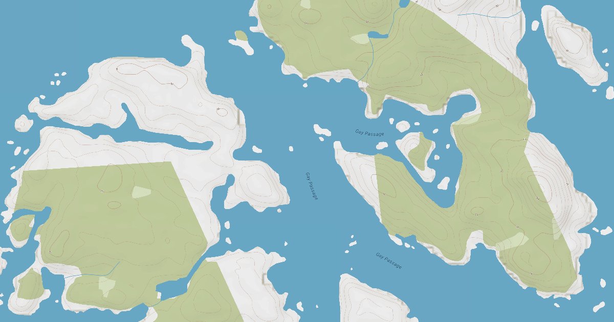
A curated photo + map walkthrough showing approach, mooring options, and points of interest.

Plus

A guided walkthrough of Bunsby Islands with approach photos, depth notes, and points of interest — written by members who have been here recently.

Gallery

Photos from members

Member-uploaded images of this anchorage.

From the dock

Reviews & questions

Real first-hand reports and questions answered by members who have actually been here.

No reviews yet. Be the first.

Community

Keeping it current

Corrections from the WalkTheDock community

Cruising info goes stale fast — fees change, fuel docks close, hours shift. WalkTheDock stays accurate because boaters who’ve actually been here keep it current. Spot something out of date? Suggest a correction; once a moderator approves it the change goes live and you’re credited below.

No community updates yet — spotted something out of date? Use “Suggest an edit” below.